


Michigan USGS Maps Online
August 27, 2007
USGS Topographic Quadrangle Maps by County are available online through the Michigan DNR. This site allows you to view download pdf maps by selecting a county from the State map or list (average file size 3.1MB). This site can help keep your trip on track when you're short on time or simply want backups.
The way it works is as follows: (it will not function here. You must go to the site for functionality - Go Now)
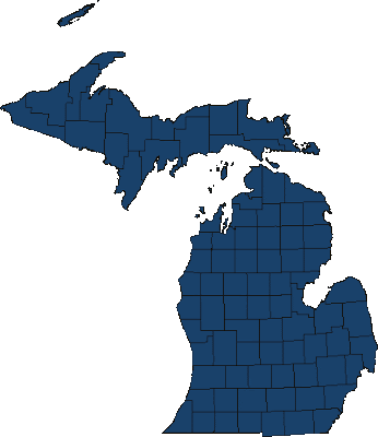
1. The map below will appear first. Pick a county by clicking on the map or using the drop down menu on the page.
2. When a county is selected a map of that county will appear. For an example here is a portion of the Leelanau County quadrangle map that appears.

3. Finally, you would click on the desired quadrangle from this map to obtain the USGS map in the form of a pdf. It will ask if you'd like to open it or save it.
USGS Maps as pdf files online. Entirely free through the Michigan DNR
Labels: Maps
posted by Jay @ 8/27/2007,
![]()
![]()